
Pacific swimmers shine as Oceania Champs signals growing shift
PMN NewsThu, 14 May

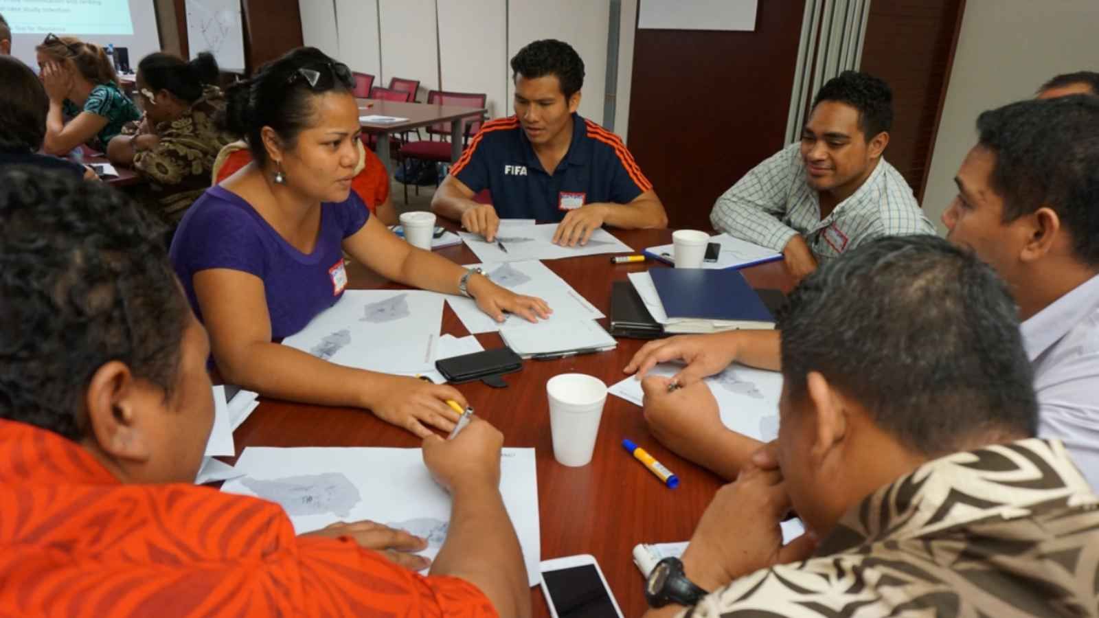
PARTneR engages with Pacific countries to understand how information about the risk of hazards can be used to make better decisions.
Photo/Supplied/NIWA
Six Pacific nations are using new climate forecasting tools to map floods, cyclones, and drought risk, helping governments act earlier and plan ahead.


Recent storms across the Pacific including in New Zealand and Australia have again highlighted how fast-changing and severe weather is putting pressure on island countries already on the frontline of climate change.
Now, a regional programme is giving Pacific governments new tools to see where future damage is most likely - from coastal flooding and rising seas to droughts and water shortages before disasters strike.
The Pacific Risk Tools for Resilience (PARTneR) programme is already being used in six countries: Cook Islands, Marshall Islands, Sāmoa, Tonga, Tuvalu and Vanuatu.
In an interview with William Terite on Pacific Mornings, lead researcher Juliana Ungaro says the aim is to help countries build their own systems based on local needs and data.
“The systems are now being developed regionally across all of the different countries that are involved in the program, and we're developing national models the best that we can based on the data available,” Ungaro says.
She says the tools are already changing how decisions are made on the ground.
Watch Juliana Ungaro's full interview below.
In Vanuatu, risk maps are helping communities understand where it may no longer be safe to live or build in the future due to sea-level rise and coastal erosion.
In Sāmoa, modelling has helped support funding decisions to improve the Vaisigano River and reduce flood risk.
In Tuvalu and the Marshall Islands, drought forecasting tools are being used to prepare earlier for water shortages, giving the government more time to act.
The next phase of the programme could include Tokelau, Solomon Islands, and Fiji as demand grows across the region for practical tools to plan for climate risk. Photo/Supplied/NIWA
For many low-lying and remote island communities, earlier warnings can mean the difference between disruption and disaster. This also allows time to store water, move families, protect crops, and secure critical supplies.
The prgoramme also brings together scientists from Earth Sciences New Zealand, the Pacific Community, and support from New Zealand’s Ministry of Foreign Affairs and Trade.
Viliame Bovoro, Director of the Pacific Fusion Centre, says climate risks in the region are getting worse and better data is key for planning and response.
“We are already beginning to go above the 1.5-degree temperature rise that we are saying that we need to stop,” he told Terite.
Bovoro says stronger forecasting tools are becoming part of wider regional security planning, helping governments respond faster to disasters and protect infrastructure.
He says Pacific leaders will need to push for stronger global action at upcoming climate talks like COP31 to secure more support for vulnerable island nations.
Watch Viliame Bovoro's full interview below.
Ungaro says a major goal of the programme is ensuring Pacific countries can run the systems themselves, not rely only on outside experts.
“Without co-development and local ownership, we don't think that the tools would be able to be fit for purpose or tailored to the local needs.”
She says countries are also working together through training, exchanges, and shared learning.
She says the programme acknowledges challenges ahead, including improving local data, securing long-term funding, and making sure smaller countries have the resources to keep building the systems.
The next phase of the programme could include Tokelau, Solomon Islands, and Fiji as demand grows across the region for practical tools to plan for climate risk.
The programme has been named a finalist in the Collaboration for Impact category of the Science New Zealand Awards 2026.