
‘He was our superhero’: The legendary Jonah Lomu’s Tongan story comes to the big screen
Aui'a Vaimaila Leatinu'uMon, 03 Aug

The interactive map combines open-source intelligence with local knowledge to make military activity visible to Pacific communities and decision-makers.
Photo/United States Army
The island nations get unprecedented visibility over military activity in Micronesia, empowering local communities to track foreign activity and play a stronger role in regional security.


Pacific island nations are taking control of how they monitor security in their waters.
A new interactive map launched this week allows communities in Micronesia to track military movements in their region, a first for the Pacific.
The tool, created by the Guam-based Pacific Centre for Island Security (PCIS), shows the movement of military forces and equipment in the Federated States of Micronesia (FSM), Palau, and the Marshall Islands.
It combines open-source data with local reporting, giving residents, journalists, and researchers a clearer picture of what’s happening in their waters.
“For too long, much of the activity in our waters has been invisible to the people who live here,” Dr Kasey Luma, director of PCIS, says in a statement to ABC Pacific Beat. “This map gives Pacific communities a voice in the discussion about security in their own backyard.”
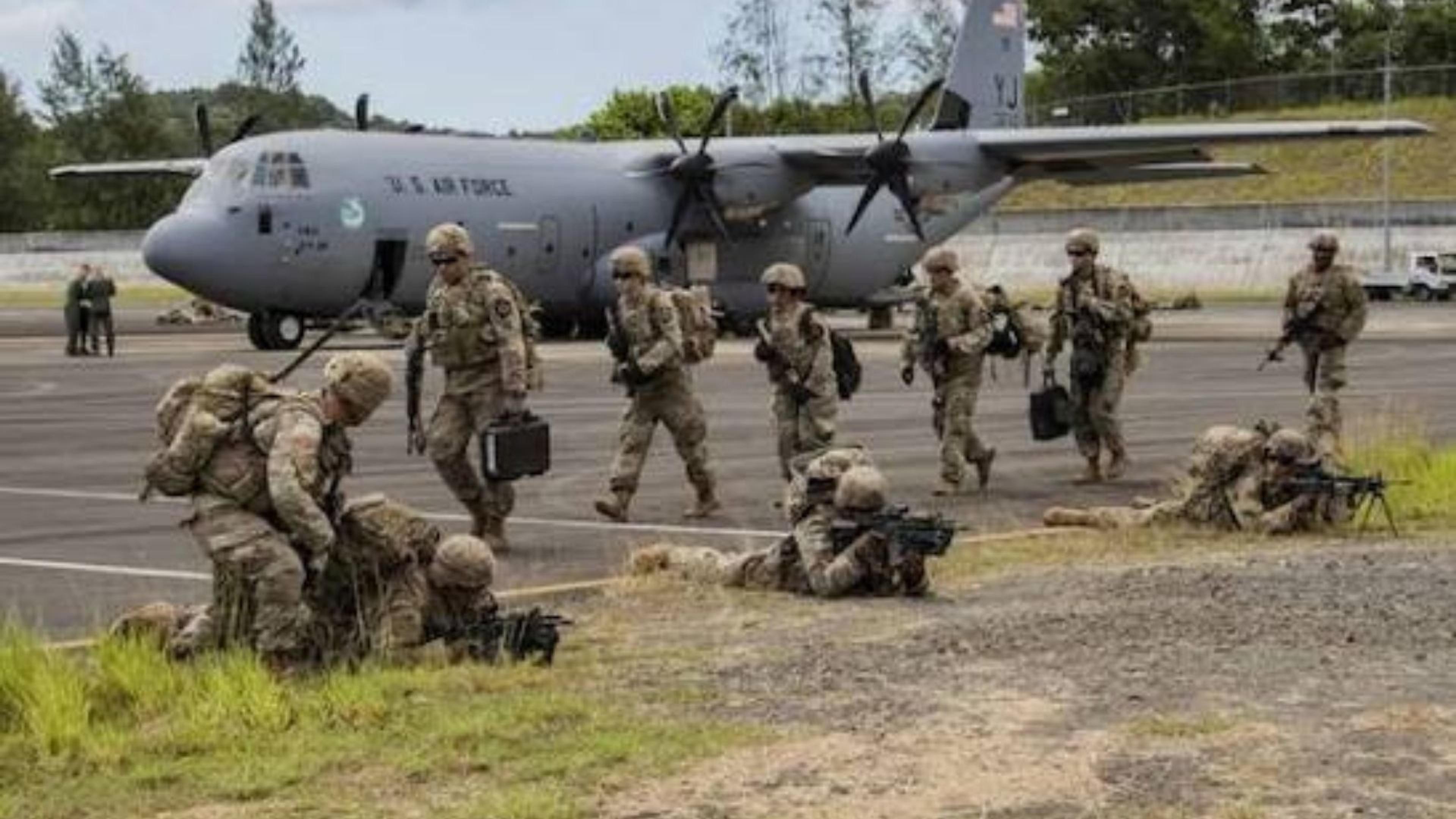
According to PCIS director Leland Bettis, the volume of recent United States and Chinese naval and research-ship activity across northern Micronesia is significant.
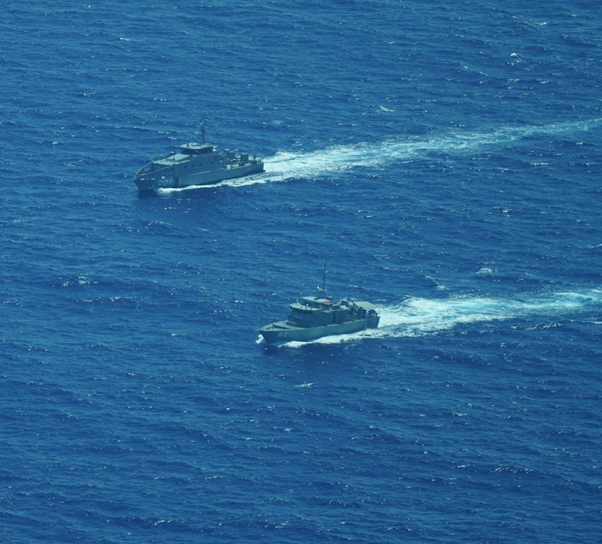
Pacific communities are now able to track military activity in their waters using a new interactive map, giving them greater visibility and agency. Photo/Australian Embassy, Federated States of Micronesia
Bettis told The Straits Times: “If you look at the number of US and bilateral and multilateral exercises, there is a lot. This map provides the transparency that Pacific communities need.”
The Pacific has long been treated as a geopolitical crossroads. Local leaders have expressed concern about foreign military activity in their waters.
David Panuelo, former President of FSM, speaking to ABC Pacific, says: “We’ve seen an increase in foreign vessels passing through our waters without consultation. It’s vital that Pacific people can track these movements for themselves, not just rely on reports from outside powers.”
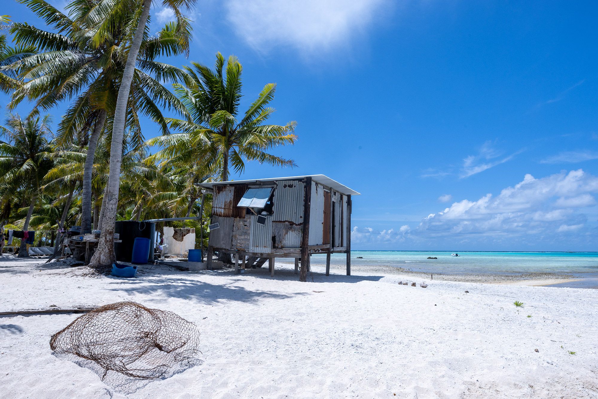
Leaders from Palau and other Micronesian nations stress that local communities deserve a voice in monitoring military and maritime activity in their waters. Photo/notesfromtheroad.com
A former representative from Guam warned in a separate interview with ABC News that islands can feel like “just fodder in the case of a conflict".
The new map is intended to shift that dynamic, giving Pacific residents agency over information about security in their own region.
The tool’s relevance goes beyond military exercises. Pacific nations dependent on fisheries also face risks from foreign vessels.
Sangaa Clark, chief executive of the Parties to the Nauru Agreement, told BWorld Online: “If non-Pacific powers conduct coast-guard patrols in our waters, it could introduce geostrategic tensions to the policing of the Pacific’s fisheries.”
The map could therefore also support monitoring of maritime resources and illegal activity.
Security scholars note that Pacific nations are actively navigating rising competition between global powers.
Dr Steven Ratuva, a regional analyst at Canterbury University, also told ABC News: “Pacific Island states often engage multiple powers strategically to protect their own interests. Tools like this map give them data to make those choices with full awareness of what is happening in their region.”
The map is designed to be user-friendly, showing recent deployments, patrols, and joint exercises. Combining open-source intelligence with local knowledge allows patterns of military activity to be tracked over time.
“The Pacific is not a passive stage for global competition,” Luma adds. “It is home to millions of people whose lives and futures are directly affected. They deserve to see what’s happening and be part of the conversation.”
The interactive map is publicly accessible online and will be updated regularly as new information becomes available.